From prehistoric caves to sacred bronzes
Type: archaeological and historical-cultural
Approximate distance: 59 km

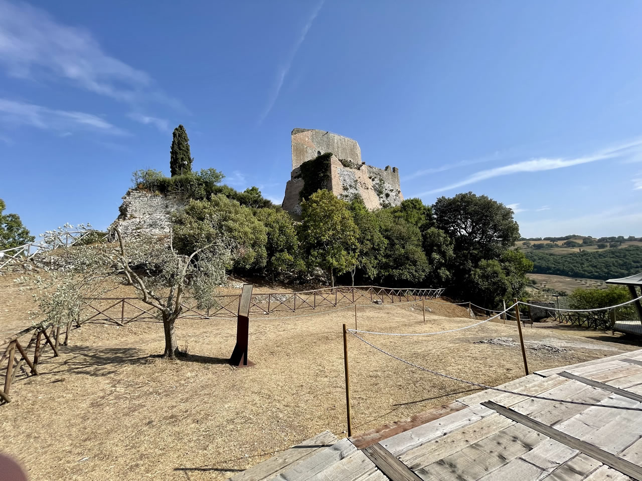
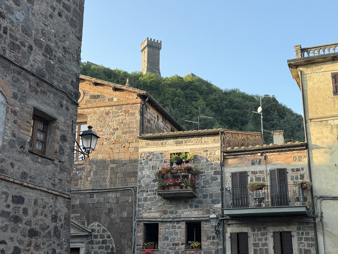
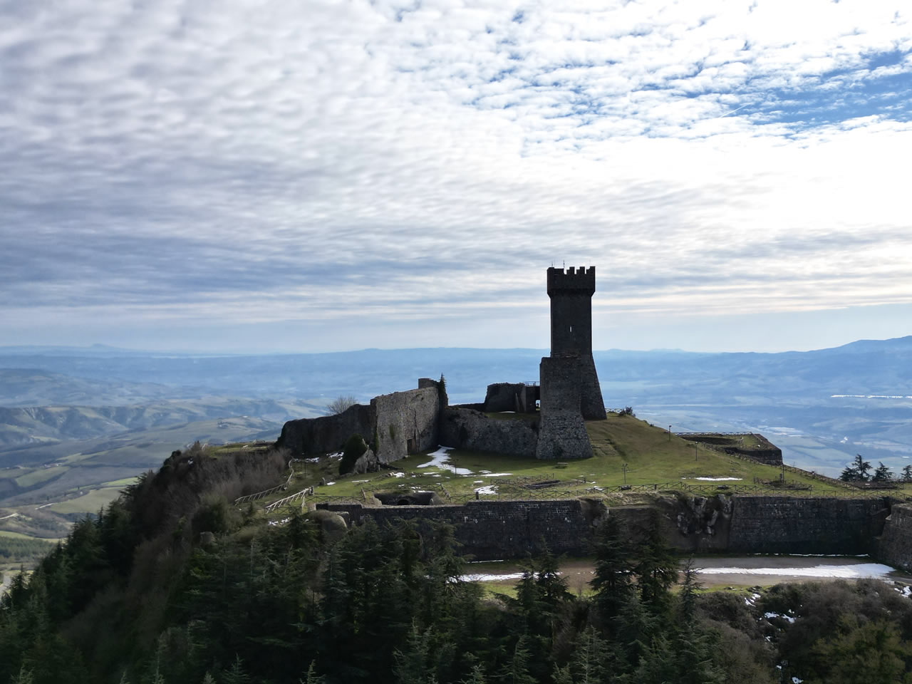
The Fortress, repeatedly destroyed and rebuilt over the centuries, is today the result of important restoration work that has restored its historical and architectural legibility, making it newly accessible and central to the perception of the village.
In the Medici era, the role of “gate” and hub was consolidated with the Posta Medicea (Osteria Grossa), commissioned by Ferdinando I de’ Medici and designed by Buontalenti: a true travel infrastructure, including horse changes, hospitality, and control along the Francigena/Cassia axis, frequented by important travelers over the centuries.
The four itineraries starting from Radicofani cross a compact but surprisingly stratified territory, where history, landscape, and natural resources intertwine seamlessly. The theme of control and defense emerges strongly through the fortresses and castles that dot the area: from the Radicofani Fortress itself, to the fortified system of Castiglione d’Orcia with the Rocca di Tentennano, up to the fortified villages of Sarteano and Cetona, which recount centuries of control over the major communication routes. These routes follow and intersect historical tracks like the Via Francigena and the Via Cassia, attesting to continuous frequentation of the territory since Roman times.
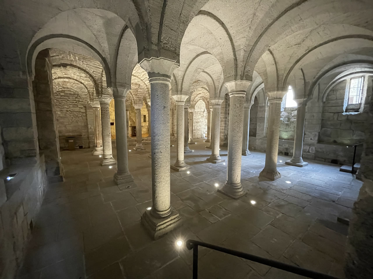
Alongside the historical dimension, the itineraries allow the territory to be read through archaeology and the relationship between man and environment. The Cetona Natural Archaeological Park preserves evidence of prehistoric and Etruscan presence, including inhabited caves and rock settlements, while areas like Parco Vivo offer a more distinctly naturalistic immersion, among woods, springs, and water-shaped landscapes.
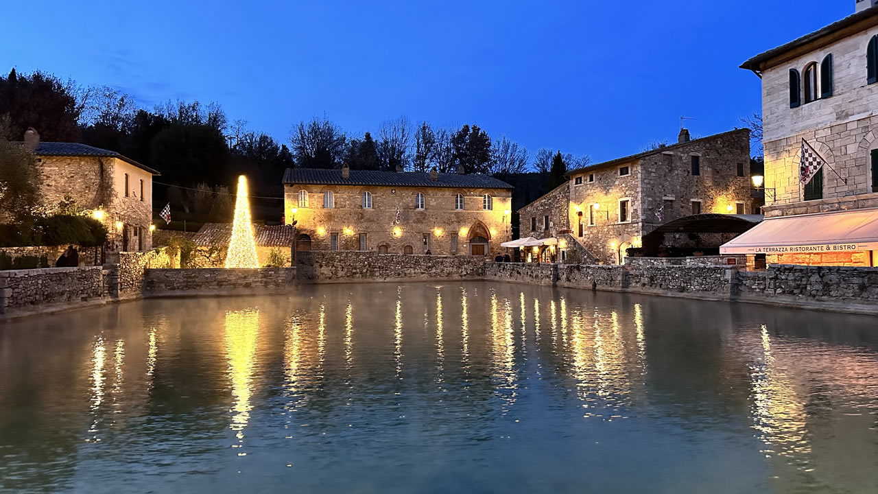
Water itself represents one of the guiding threads of the experience. The thermal springs of Bagni San Filippo, Bagno Vignoni, and San Casciano dei Bagni have been exploited since Roman times and tell a millenary continuity in the therapeutic use of water, confirmed today also by the extraordinary archaeological finds of the San Casciano thermal sanctuary. The landscape surrounding them, between Val d’Orcia, the slopes of Monte Amiata, and wooded areas, provides a complete reading of the territory, in which natural elements, ancient infrastructures, and historical settlements coexist and explain each other.
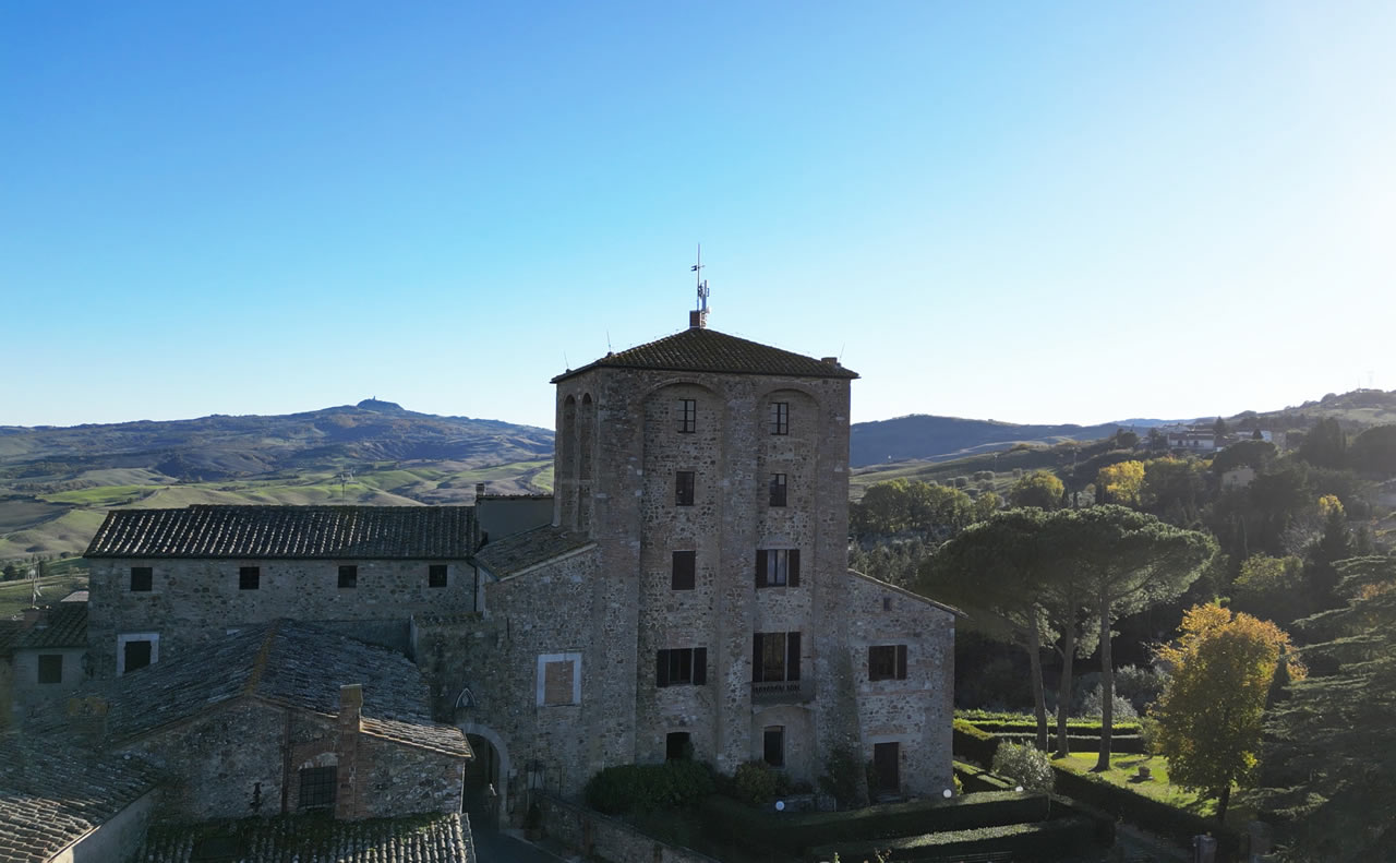
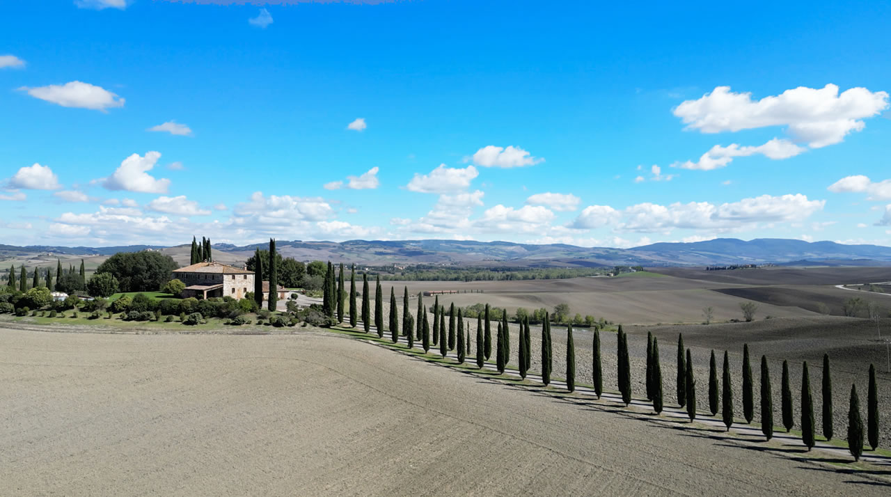
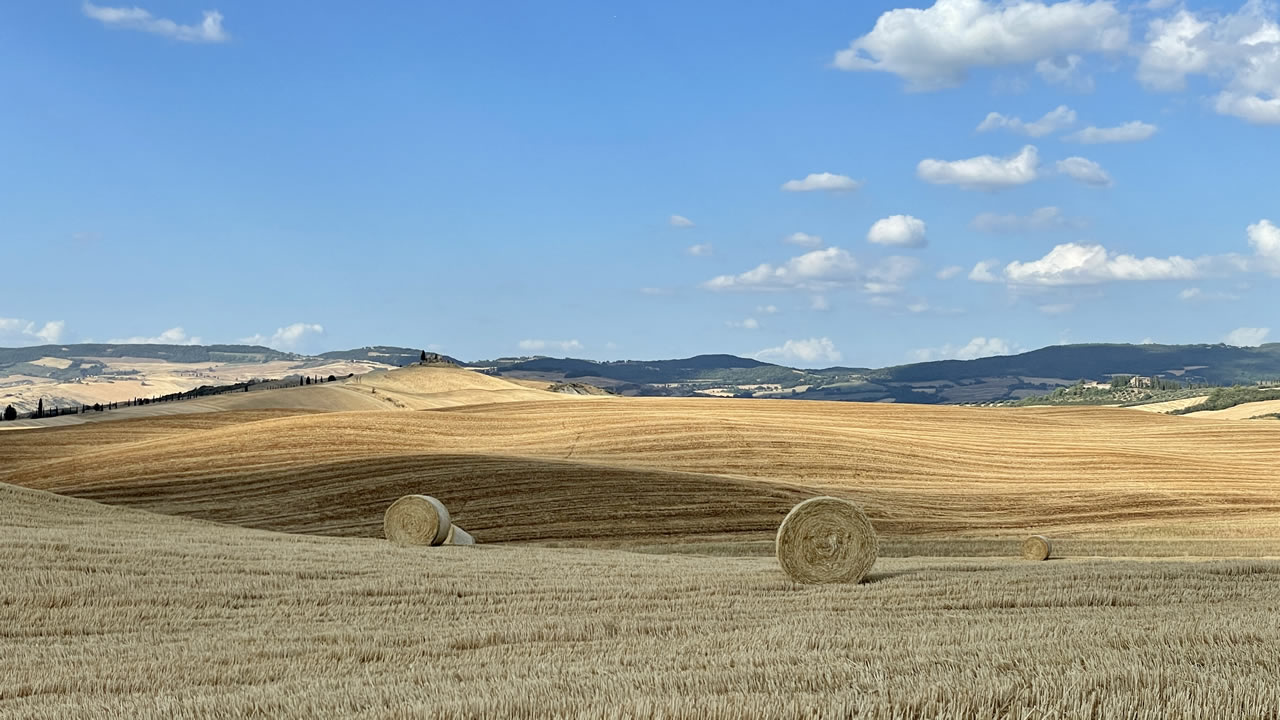
This combination of elements finds a particularly significant synthesis in the Val d’Orcia Park, recognized as a UNESCO World Heritage cultural landscape. The site includes the five municipalities of Castiglione d’Orcia, Montalcino, Pienza, San Quirico d’Orcia, and Radicofani and was added to the list in 2004 for the exceptional example of an agricultural landscape redesigned between the 14th and 15th centuries, in which agricultural practices, human settlements, and communication routes were modeled according to the aesthetic and good governance ideals typical of the Renaissance. The softly cultivated hills, the fortified villages, the rows of cypress trees, and the arrangement of the fields are not just an iconic picture, but the testimony of a long and harmonious relationship between man and nature that influenced Renaissance painting and the very conception of the Italian landscape. This recognition underscores how human intervention, far from being invasive, is an integral part of a territory where beauty, agricultural productivity, and history integrate into a single cultural and landscape dimension, still legible and traversable through the InBorgo itineraries.
Crossing this territory means reading a landscape that is never random, but the result of choices, balances, and stratifications that have settled over time. The four itineraries starting from Radicofani allow this complexity to be grasped step by step, connecting fortresses, historical routes, villages, thermal waters, and natural environments in a unified narrative. Not isolated single places, but a coherent system where nature and human intervention still dialogue today, making the journey a tool for deep understanding of the territory.