Visions, faith, and silences of the sacred mountain (In the footsteps of “Santo David”)
Type: naturalistic, historical, and cultural
Approximate distance: 36 km

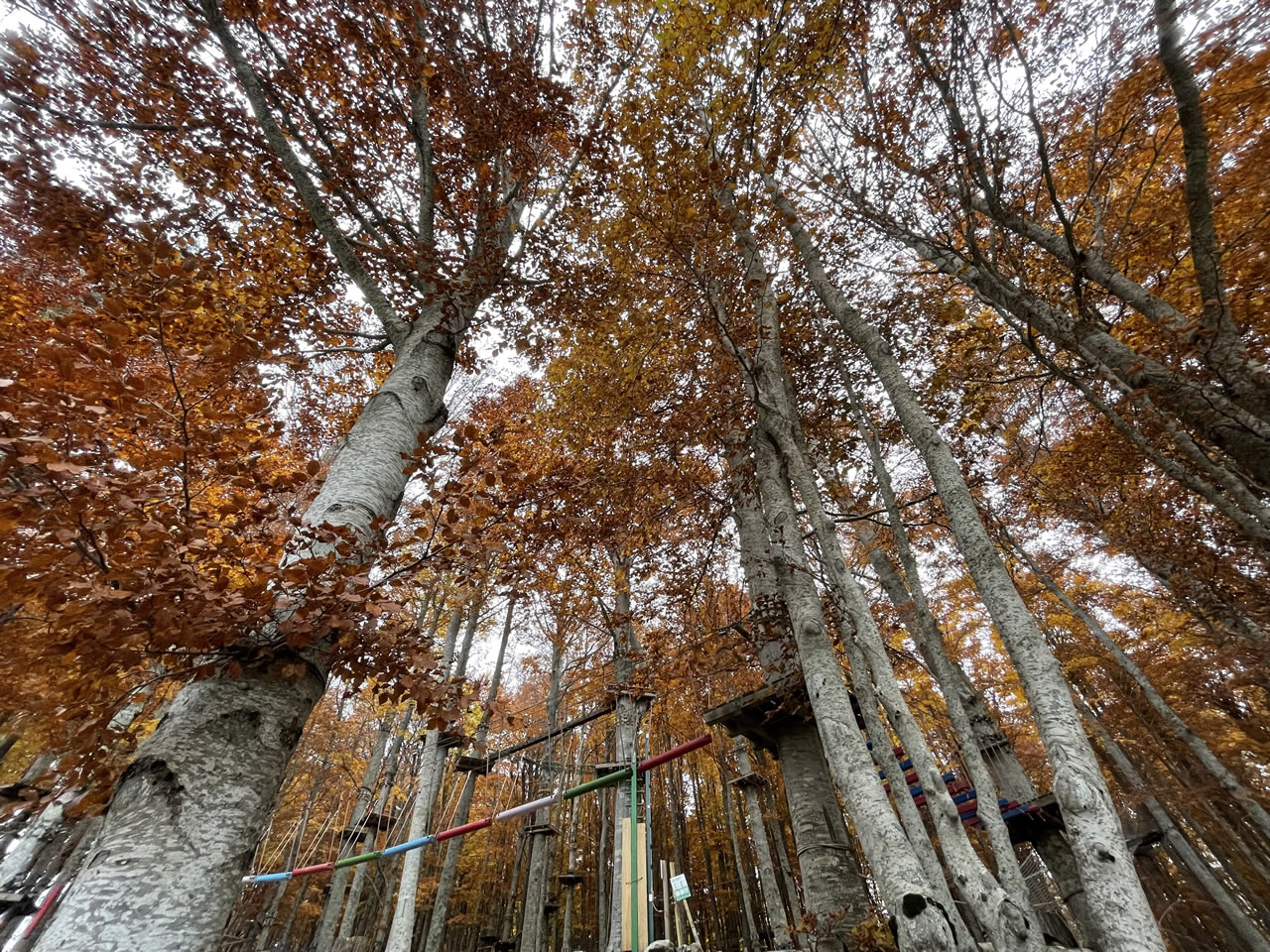
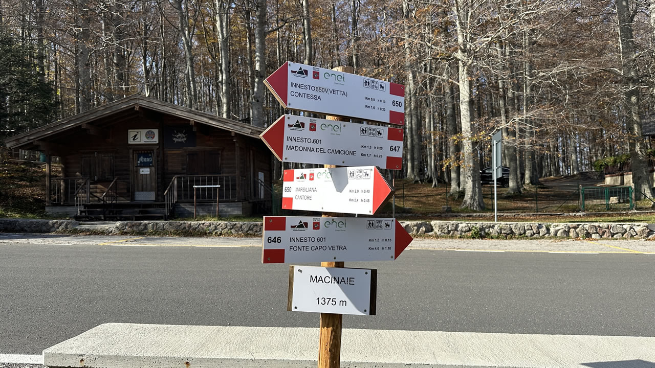
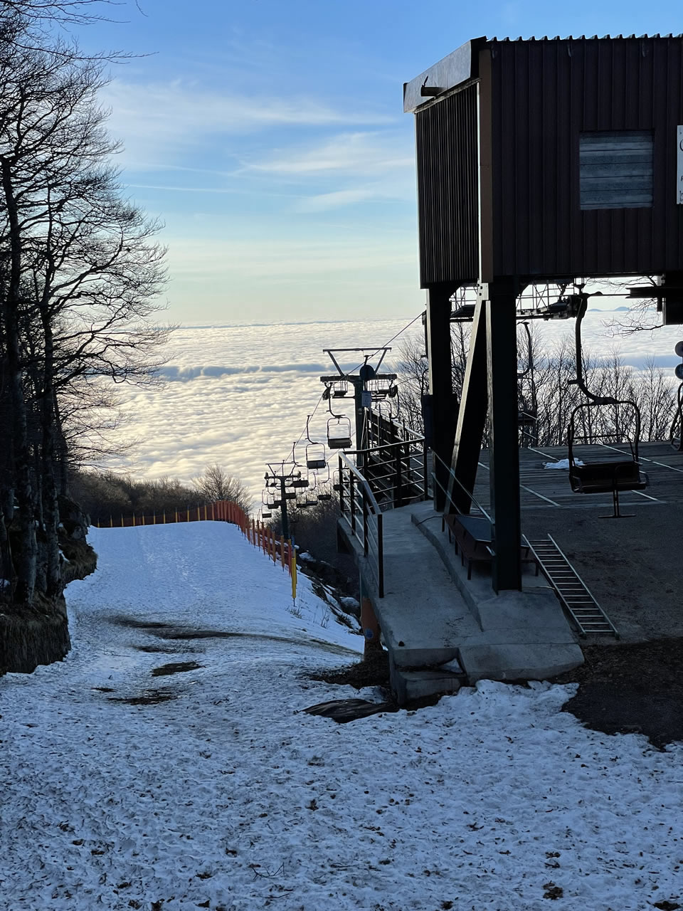
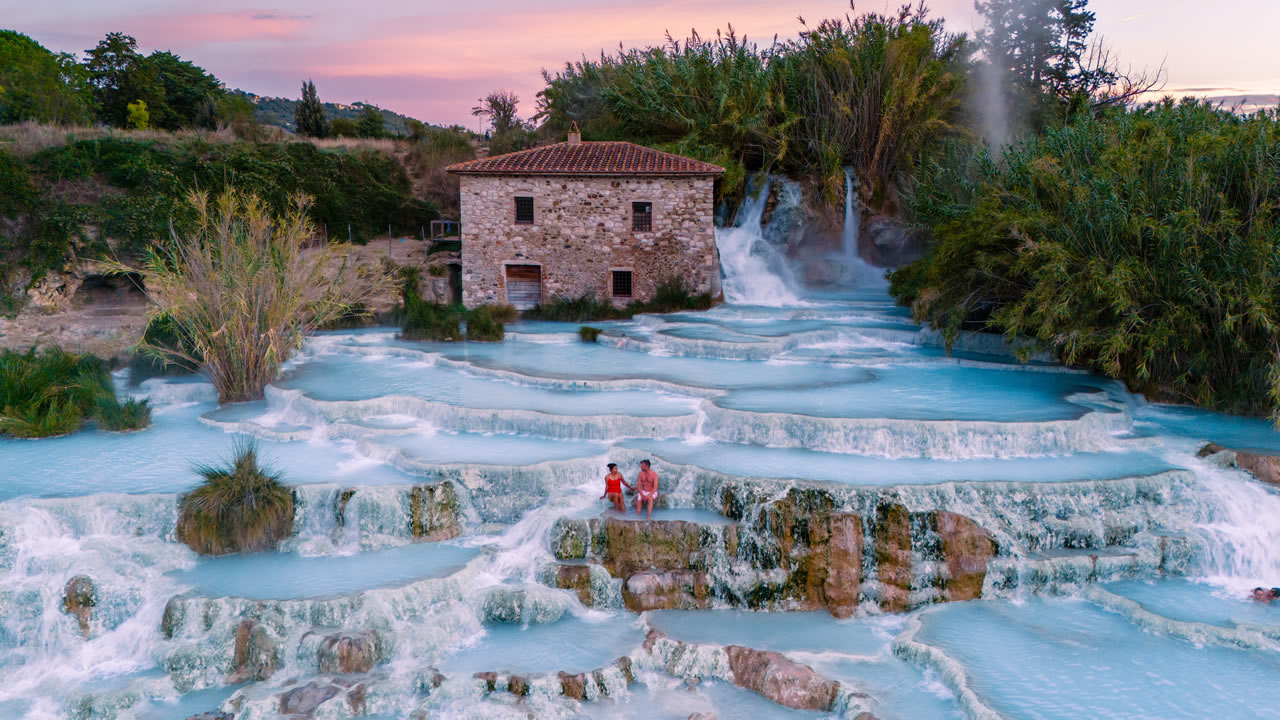
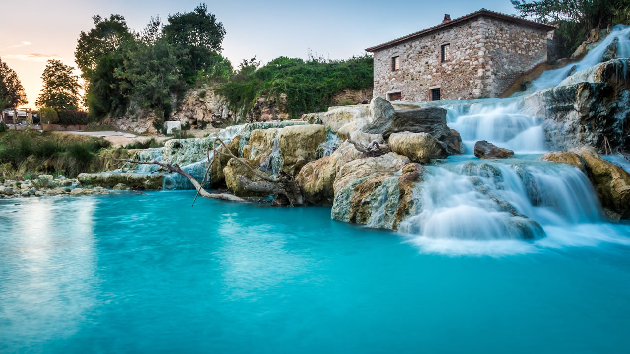
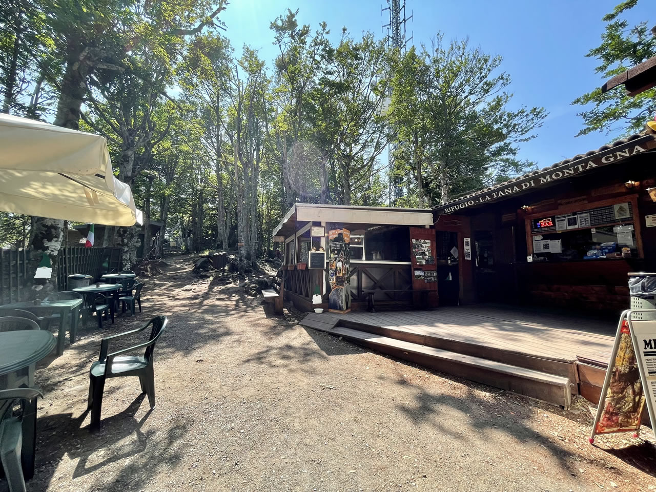
The four itineraries starting from Santa Fiora cross an extremely articulated territory, where Amiata, internal Maremma, and Etruscan Maremma coexist within a short distance. The naturalistic component is central: Monte Amiata offers an extensive network of woods and trails frequented today for trekking, walking, and summer outdoor activities, in addition to the Monte Amiata Wildlife Park, which allows direct contact with the mountain ecosystems.
Descending in altitude, traces of territorial control emerge, with fortresses and garrisons like the Castello di Triana, the Rocca Silvana of Selvena, and the Rocca Aldobrandesca of Roccalbegna, which recount centuries of unstable borders. This historical reading is accompanied by the memory of the Amiata’s mining history, linked to the extraction of mercury, documented by the Mercury Mines Museum and the scattered mining sites in the territory, and the spiritual one, with places like the Abbey of Santissimo Salvatore in Abbadia San Salvatore, a fundamental religious and cultural hub of the area.
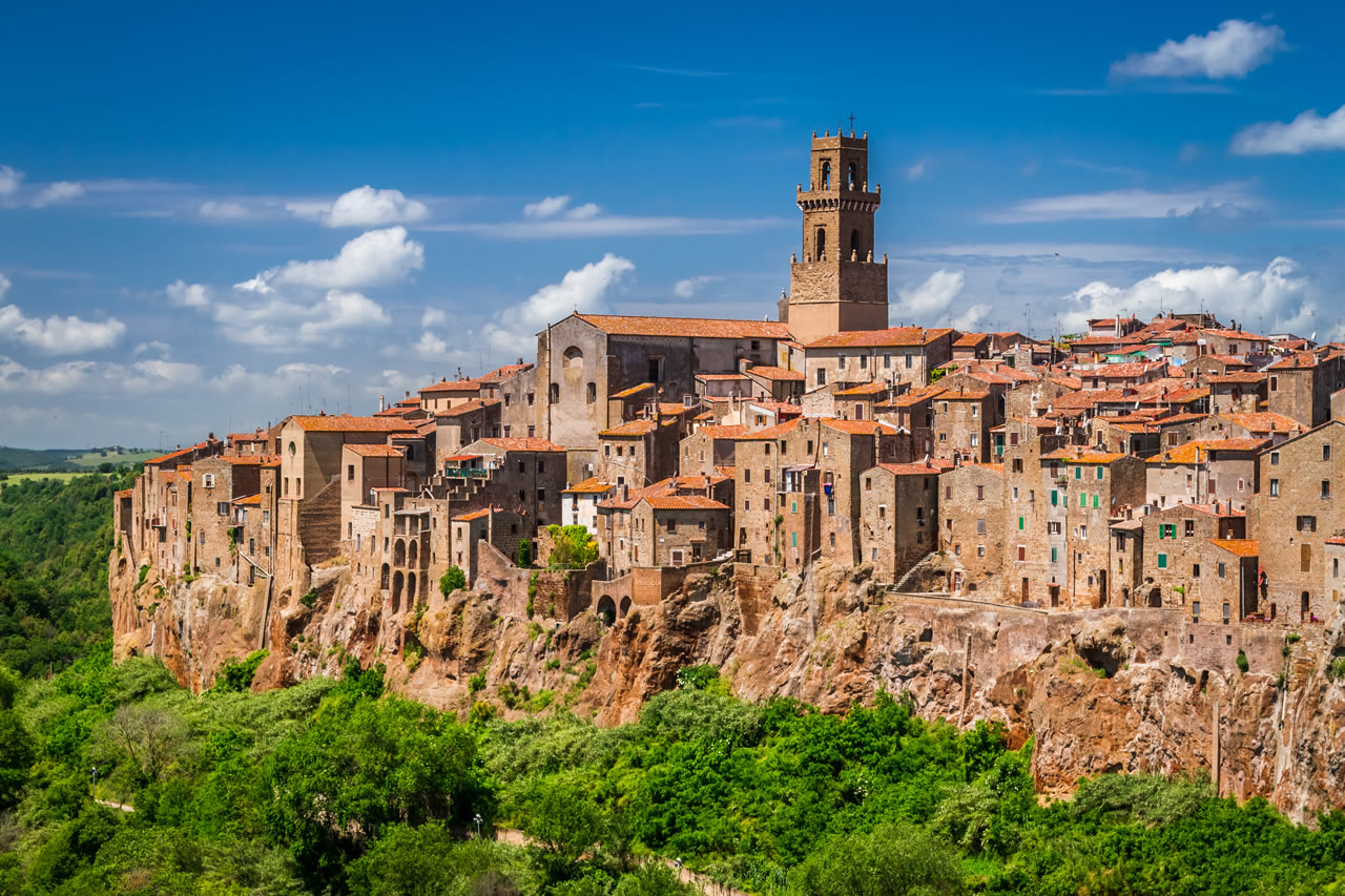
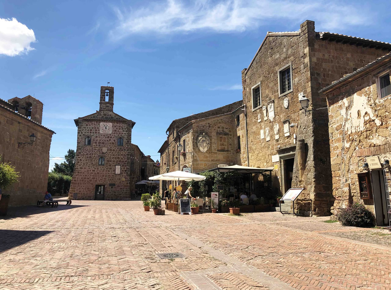
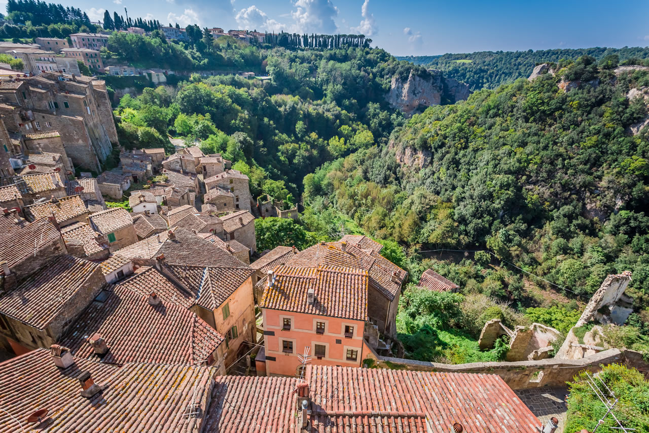
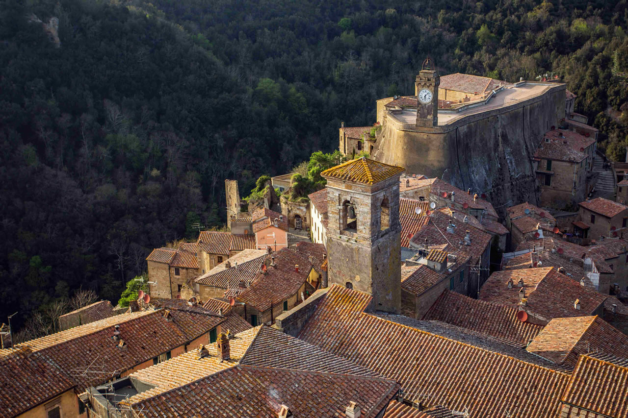
The passage towards the south introduces the landscape of the Etruscan Maremma, with the tuff villages of Sovana, Sorano, and Pitigliano, amidst vie cave (sunken roads), necropolises, and urban systems carved into the rock. Pitigliano, in particular, is known as Little Jerusalem for the historical presence of the Jewish community, with a synagogue, museum, and gastronomic traditions that add a unique cultural layer to the journey.
The cuisine also reflects the complexity of the territory: forest products and mountain recipes on the Amiata, more genuine flavors descending towards the Maremma, wines like Bianco di Pitigliano DOC and Montecucco that naturally accompany the experience, linking what is tasted to the landscape that produces it.
Crossing the territory of Santa Fiora means following a landscape that changes several times in the same journey: water and woods, stone and tuff, mountain and Maremma. The four itineraries restore this variety as a unified narrative, in which nature, history, and community intertwine without separating, allowing the territory to be read as a coherent and deeply identity-based system.